Killorglin has it all
From stunning landscapes to its friendly people
Killorglin occupies a scenic position overlooking the River Laune and backed by the dramatic slopes of the MacGillycuddy’s Reeks. It is situated at the beginning of the world-famous scenic drive of the Ring of Kerry, part of the Wild Atlantic Way and it’s the gateway to the Reeks District.
Killorglin’s name in Irish is Cill Orglan, meaning “Orgla’s Church”. The town hall was built with the help of Andrew Carnegie. As of the 2022 CSO census, the town’s population was 2,163.
The town has the ability to create, develop and sustain high-quality export-oriented and technology-led local employment. There are 2.2 local jobs per resident worker; the highest employment density of any town in Ireland (source CSO, 2016). The town fulfils an important commercial function, employment and service location for a large rural hinterland.
There is a strong sense of community engagement and a tradition of achievement in sporting, artistic and cultural activities/ festivals.
The town is synonymous with Puck Fair, an annual cattle and horse fair held from 10th to 12th August. Puck Fair is one of Ireland’s oldest festivals, celebrating almost 400 years of documented evidence. A wild mountain goat is crowned King Puck and reigns over the town for three days. The carnival atmosphere includes street traders, parades, a traditional horse fair, craft fair, night concerts, storytelling, traditional music and dancing.
Killorglin arts sector is rich and diverse – an example of this is K-FEST and since 2013 it has housed over 600 visual artists and approximately 3,000 original works of art, covering paint, print, sculpture, performance, textiles, fashion, graphic design, photography, film and audio-visual.
Killorglin is a major activity centre for the Reeks District which is known for its outdoor activities, mountain walks and water sports.
Socio-Economic Plan for Killorglin
The Socio-Economic Plan for Killorglin was commissioned by South Kerry Development Partnership CLG and Kerry County Council. Funded by the Department of Rural and Community Development. The plan was shaped by the people of Killorglin and reflects local ambition for enhanced liveability, quality of life and quality of place in the town and its environs.
The plan sets out a series of recommendations on the development of an optimal community-led structure to structure, plan, co-ordinate and implement a range of social, economic and environmental actions in the town and its environs; defining for it an overarching enabling, representation and advocacy role. Read more about the Socio-Economic Plan here.
Keep scrolling down the page to read more about our town, some key facts, our heritage and history.
”Simply put, a progressive And vibrant KillorglIn is A Town for The Ages; representative and inclusive of all ages, honouring its past, mindful of its present and boldly optimistic for its future.”
Did you know?
Here are some interesting facts about Killorglin's district
-
Puck Fair
Puck Fair is one of Ireland’s oldest festivals, celebrating almost 400 years of documented evidence. A wild mountain goat is crowned King Puck and reigns over the town for three days -
Killorglin’s Metal Bridge
The bridge was erected in 1885 as part of the Farranfore to Renard railway line which was closed in 1960. It is known locally as the Metal Bridge and is used today as part of a public pedestrian route -
The very best in the hospitality...
Taste your way around Killorglin’s accessible cafes, bars and restaurants -
Swings, roundabouts, slides, tunnels and climbing frames
Killorglin has free play areas to entertain children at Library Place & An Bhainseach -
Stunning landscape
Carrauntoohil is the highest peak on the island of Ireland. It is 1038mts high and is the central peak of the MacGillycuddy Reeks range. Visit the Reeks District website to plan your trip -
Killorglin Tidy Towns
The Killorglin Tidy Towns focuses on improving the appearance of Killorglin through works that are sustainable, in keeping with the architectural environment and complementary to the town's local heritage
Our heritage
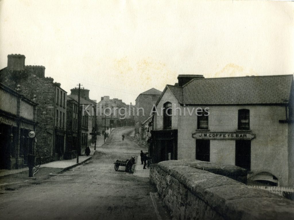
Killorglin is rich in history. Why take trip down memory lane by visiting the Killorglin Archive Society website, which has an extensive gallery of videos, audio clips and pictures to view.
Read more
History of Killorglin
The meaning of the name Killorglin is unknown. It is written as Cill Fhorgla in a manuscript reference for the year 1215. Cill means church but Fhorgla is not so clear. It may be the name of a saint but there is no such saint in the Irish calendar. Another manuscript mentions Kell Orglann in an entry for the year 1261, but this again throws no light on the name’s meaning or origin.
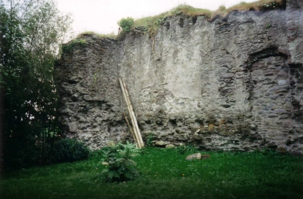
The area was held by the Moriartys until they were expelled by the McCarthy Mores and was subsequently acquired by the Fitzgeralds. For a time the area was in the possession of the Knights Templar but later reverted to the Fitzgeralds. After the defeat of the Fitzgeralds in the Desmond Rebellion, the settlement was granted to Captain Jenkin Conway in 1587 who built Castle Conway on the site of an earlier Norman castle. Castle Conway was located where Kingston’s bar/The Castle is presently located.

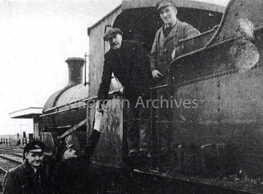
Killorglin to Valentia Railway 1890-1960
The Farranfore to Valentia Harbour Railway was 39.5 miles (63.5 km) long single-track broad gauge railway line that operated from 1892 to 1960 along Dingle Bay’s southern shore in Ireland. It was the most westerly railway in Europe.
The Great Southern and Western Railway Company (GS & WR) opened the 12.5 miles (20.1 km) long rail link between Farranfore and Iveragh Road in Killorglin with the Irish gauge of 5 ft 3 in (1,600 mm) on 15 January 1885. The line was extended by 27 miles (43.4 km) to Valentia Harbour commencing in 1890 and formally opened on 12 September 1893.
